
Entire site copyright 2004 Nick J (revised 2008-09-02)
Eastern Sierra |
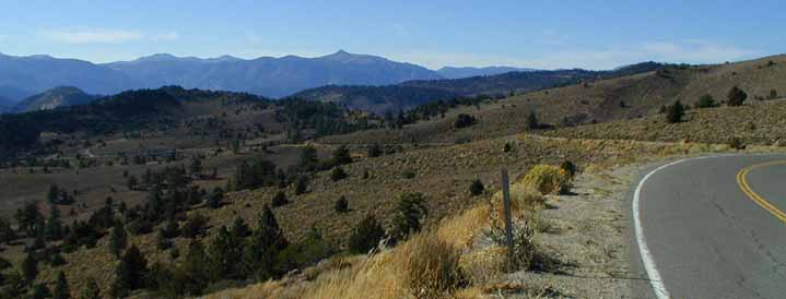 |
| looking West from ~7800 feet on Monitor Pass' west side |
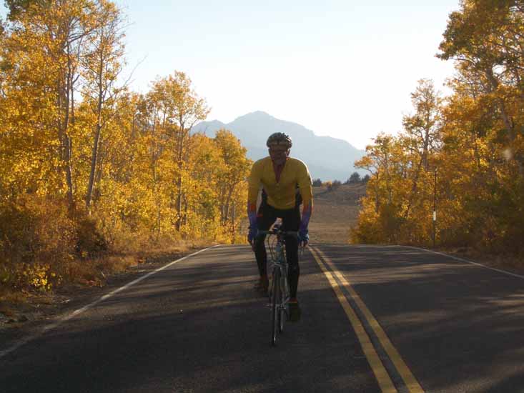
... rode for the gold! |
 |
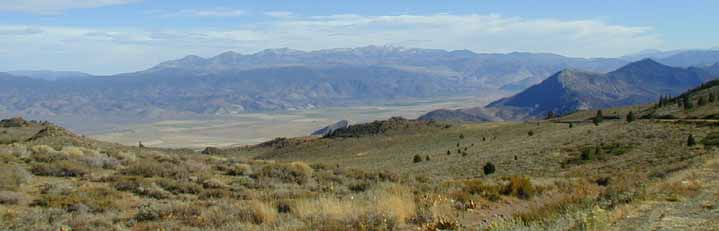
| looking East from Monitor Pass Hwy 89; eastern Sierra in background |
Two Summiteers: Nick (left) and Mike (right) |
|
 |
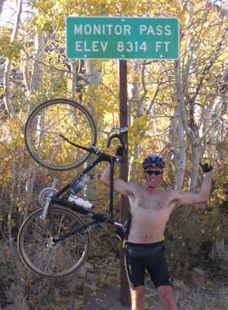 |
| Gotta remember to close those bottles first! | Monitor Pass Hwy 89 - 8314 feet above MSL |
|
Nick, who departed the summit for his truck well before sunset:
"I nearly bit it on the way down Monitor Pass after parting company with Mike. While watching my speedo climb toward 50 mph like the 12 year old speed demon I used to be, I ran over something about 0.5" tall (probably a pebble), that fortunately didn't puncture my tire, or damage the rim. Yes, it was in the shade, and perhaps I wouldn't have seen it even if I had been watching my path more closely, but the point was that I *wasn't* focused on what I should have been. I found a backpacker's headlamp on the shoulder of the Monitor Pass road the following day, and have kept it as reminder to remain focused on the path when riding mach snell!" "After riding Monitor, I returned to my truck and ate everything in the top layer of my larder but not before slathering those morsels with butter. Then came a dip in Grover Hot Springs. I truck-camped at about 7800' on the flank of Monitor off 4WD Leviathan Mine Road that night, mainly to get a little more acclimitization for the following day's climb." |
Mike, who went down to Topaz, then back up over the summit toward Markleeville after sunset:
"I didn’t nearly bite it on the way down Monitor Pass that evening, but as I reached those same speeds as you, with only a slight glow of light reflecting off of the asphalt, I reached for my brakes thinking how crazy it was to speed down with blind faith that there was nothing in the road. But no sooner did I grab for the brakes than I began to think about how much darker it would be when I got to the bottom at 20mph instead of 40, and threw my fate into some greater force’s hands." "I reached my truck in nearly complete darkness, except for the glow emanating from my ear to ear grin. I too ate everything in my possession, which happened to consist of one chicken breast sandwich, one power bar, and for dessert; a bunch of beers that I cooled in the river! I froze my butt that night when the wind kicked up and filled my sleeping bag like a sail." |
Antelope Valley near Topaz |
 |
| looking East from Hwy 89 above Hwy 395 |
Slinkard Valley from Hwy 89 |
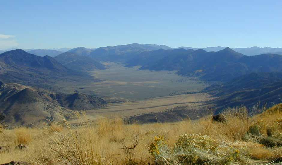 |
| looking South from Hwy 89 above Hwy 395 |
Color in Slinkard Creek |
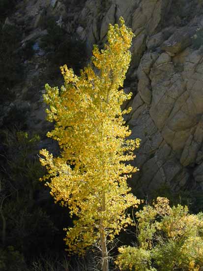 |
| South side of Hwy 89 ~2 miles west of Hwy 395 |
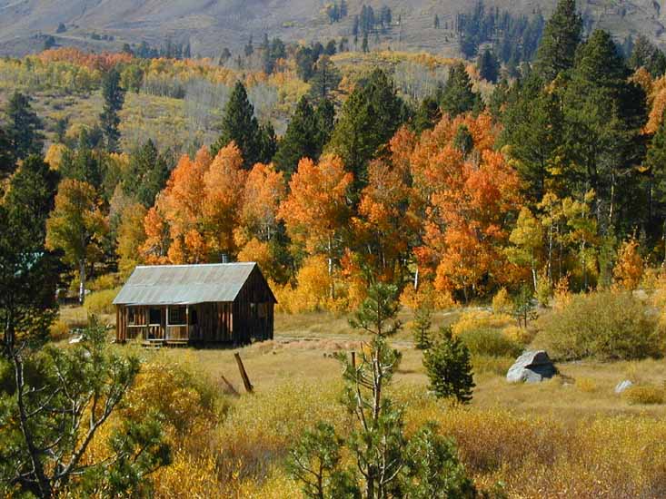
Carson Pass ranch |
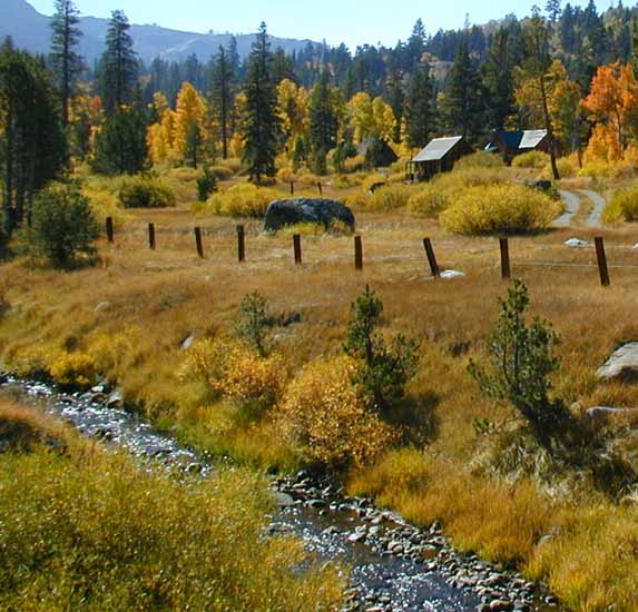 |
| West of Carson Pass on Hwy 88 |
 |
| West of Carson Pass on Hwy 88 |
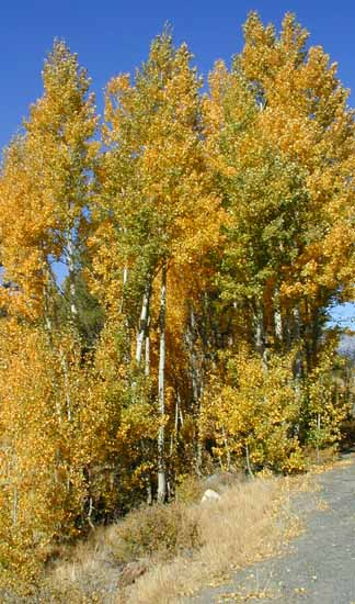
Layered color |
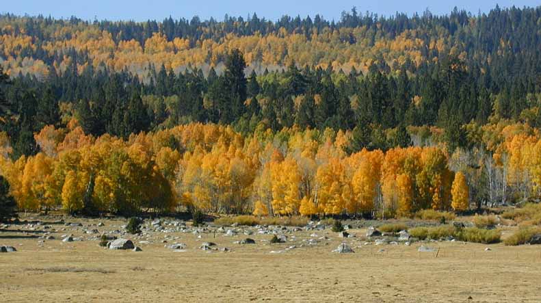 |
| West of Carson Pass on Hwy 88 |
Carson Pass ranch |
 |
| West of Carson Pass on Hwy 88 |
Carson Pass ranch |
 |
| West of Carson Pass on Hwy 88 |