 |
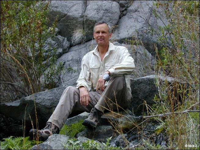
| Nick J in McElvoy Canyon |
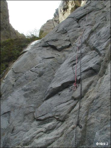 |
| Protection installed by others enabled my climb up past the second waterfall in McElvoy Canyon |
 |
| Ladder from the Beekeeper of McElvoy Canyon? Location: third waterfall |
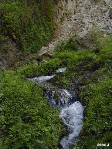 |
| Water in McElvoy Canyon |
 |
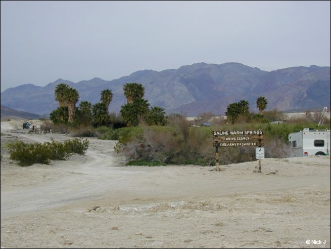
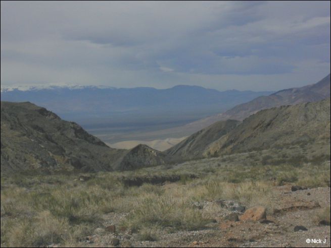
| Saline Valley Lower Springs (circled) viewed from McElvoy Canyon |
 |
| Saline Valley Lower Springs |
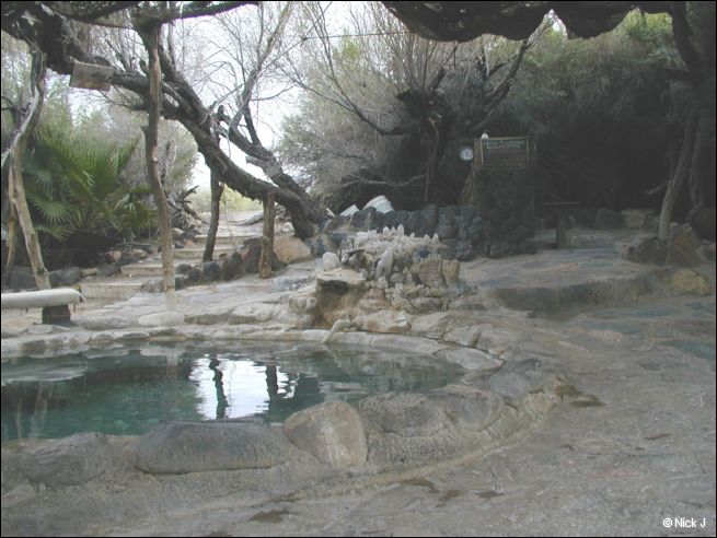 |
| One of the two soaking pools at Saline Valley Lower Springs |
 |
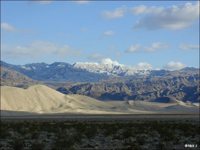
| View of the Inyo Mountains looking WSW from Saline Valley Lower Springs |
 |
| Saline Valley Lower Springs library |
 |
| Saline Valley Lower Springs bathe-with-soap area |
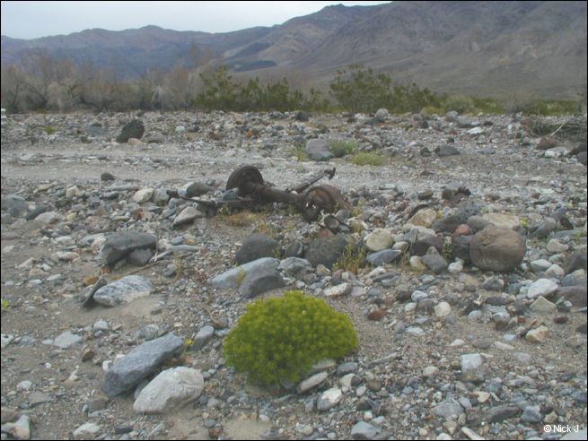 |
| Setting off on the legendary Steel Pass Road, I hoped my truck wouldn't end up this way. Moments later, when I was buzzed from behind by a nearly supersconic military jet only 200 feet above, I was sure my tires had popped. (My drawers nearly did) |
 |
| View West from Steel Pass of the Inyo Mountains, with Saline Valley Lower Springs in the intermediate valley. The surreal (blue) Marble Bath is a few hundred yards to the South |
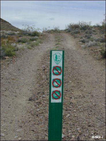 |
| This marker had been recently placed to close an unnecessary tributary route |
 |
| Joshua tree NE of Steel Pass |
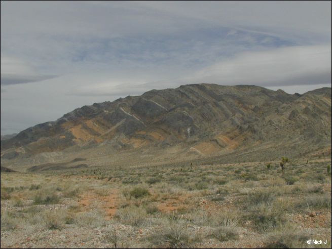 |
| Striped mountains on the descent into Eureka Valley |
 |
| Eureka Valley and the Eureka Dunes below |
 |
| The famed Dedeckera Canyon, where giant rock steps and narrow passages have damaged many an ego. Full size SUVs shod with street tires, and driven by city bozos are a favorite meal for the sharp rocks here |
 |
| Nick J aka "Mr Confidence" scouting the big drops in Dedeckera Canyon. Note the black tire scuff marks on the rock edges |
 |
| Approaching Eureka Dunes Feb 20 2005 |
 |
| Snowflake Mine Rd driveable 5.2 miles (~1800 feet elevation gain) to Keynot Cabin Trail on 2006-02-21. "Danger" to tires and the faint-hearted. "No drive" zone for 2WD or 2 ply sidewalls begins 2 miles above this sign. This sign marks the southerly of two Snowflake Mine Roads that intersect Saline Valley Rd |
 |
| Pictures don't do justice to steep and narrow and sharp rocks. Consider bandannas... |
 |
| ...one bandanna to muffle passenger's screams, perhaps another as blindfold... |
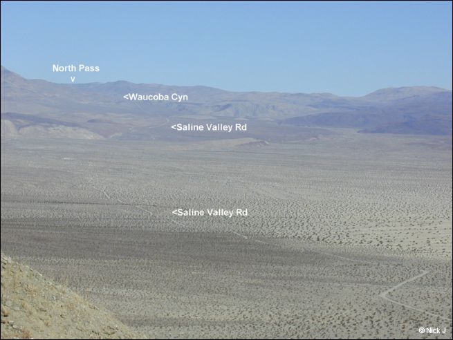 |
| Saline Valley Road to "North Pass" via Waucoba-Saline Road |
 |
| Saline Warm Springs with Dedeckera Cyn Road climbing toward Steel Pass |
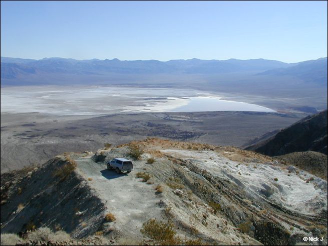 |
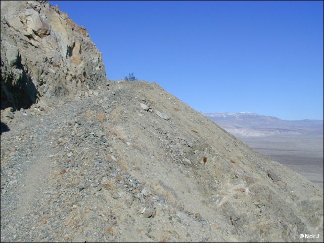
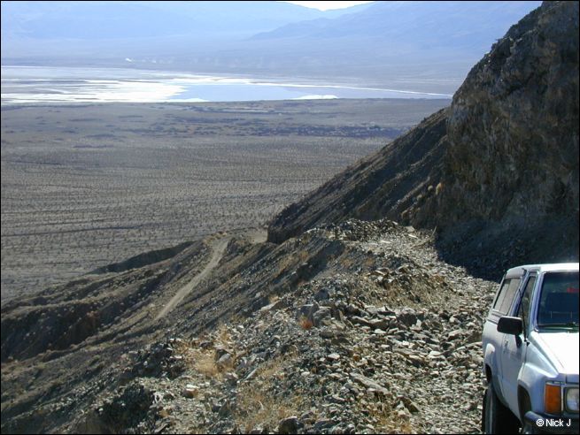
| Salt Lake viewed from Snowflake Talc Mine Road (highest elevation 4WD accessible) 5.2 miles from junction with Saline Valley Rd. Start of Keynot Cabin Trail. |
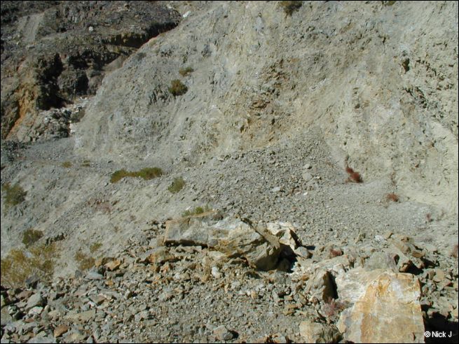 |
| Rockfalls like this can happen at any time, stranding vehicles above the fall. Carry heavy pry bars! |
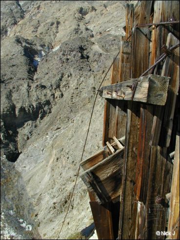 |
| Snowflake Mine chute |
 |
| Death Valley road descending toward Big Pine |
 |
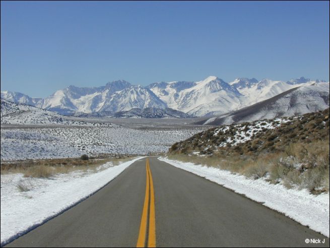
| Snow capped Sierra East Side just south of Big Pine |
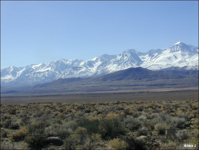 |
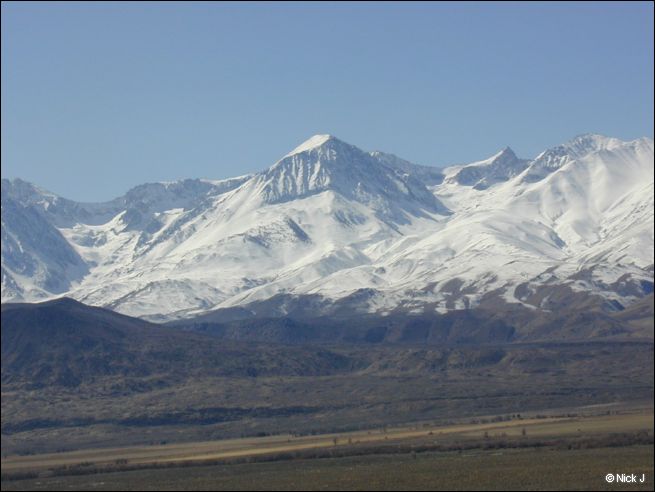
| Snow capped Sierra East Side just south of Big Pine |