March 11-17, 2005
|
| Let the *real* vacation begin! |
 |
| Sunrise illuminates what a new moon could not; camp at the crater above Hanging Rock Canyon, Last Chance Range (N Death Valley) |
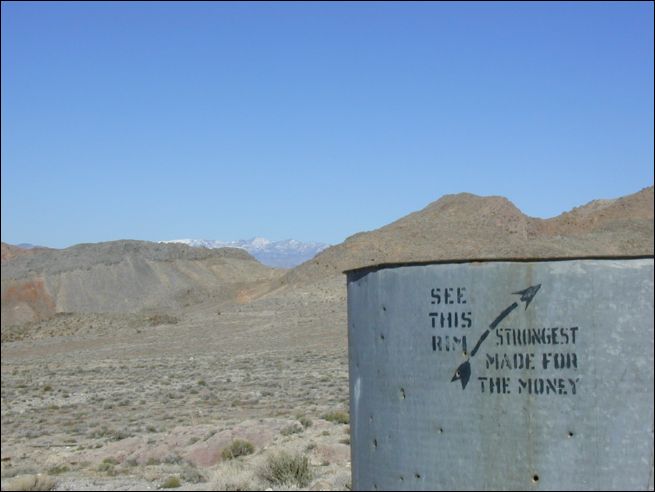 |
| But the "Strongest rim for the money" can't stand up to good old boys' bullets in the Last Chance Range |
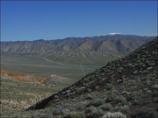 |
| Looking SE toward Ubehebe Crater from the Last Chance Range |
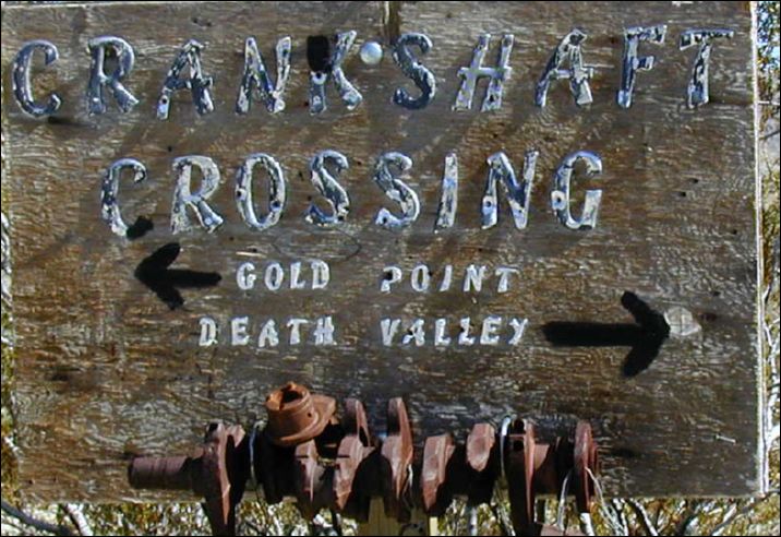 |
| Having no parts to donate (yet), I proceeded to Death Valley |
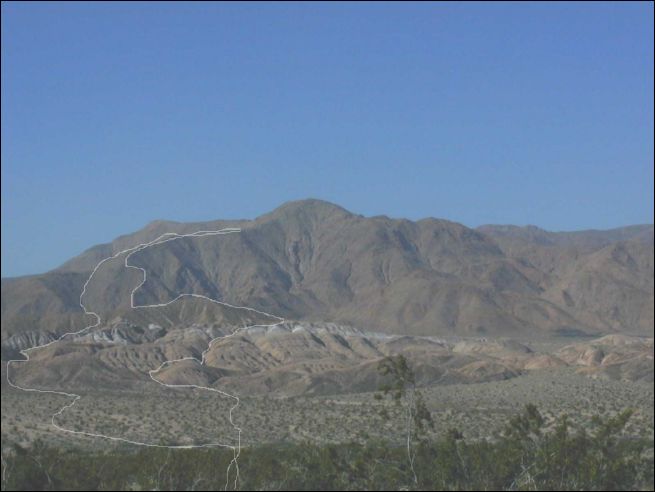 |
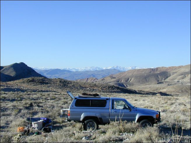
| Nick's route into and out of the Owlshead Mountains as viewed from the truck (parked along Henry Wade Road, southern Death Valley) |
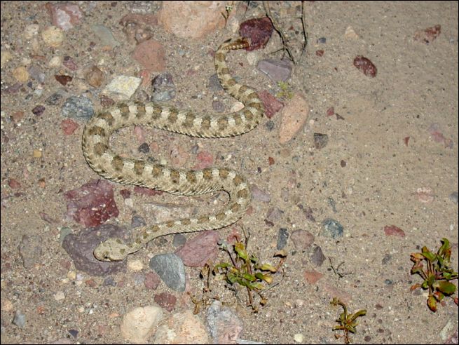 |
| A silent friend greets Nick while he is hiking from southern Death Valley's Harry Wade Road into the Owlshead Mountains via headlamp |
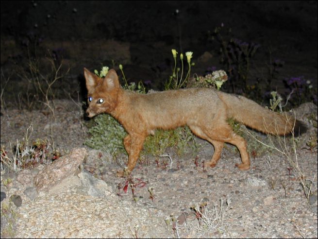 |
| Another friend (fox) sniffed Nick's feet as he took in the starlight at camp in a wash, Owlshead Mountains |
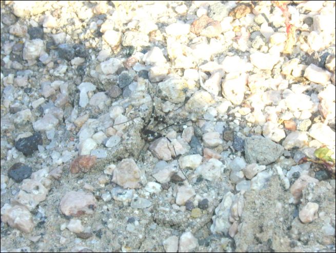 |
| Camoflaged arachnid cautiously approaches the light |
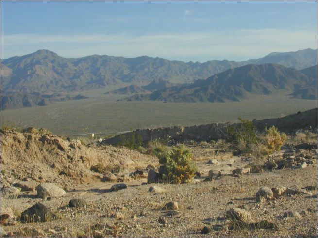 |
| Black Mountains, looking East from Owlshead Mountains |
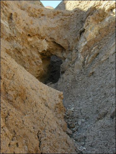 |
| Heavy rains eroded tunnels below the aggregate in many places |
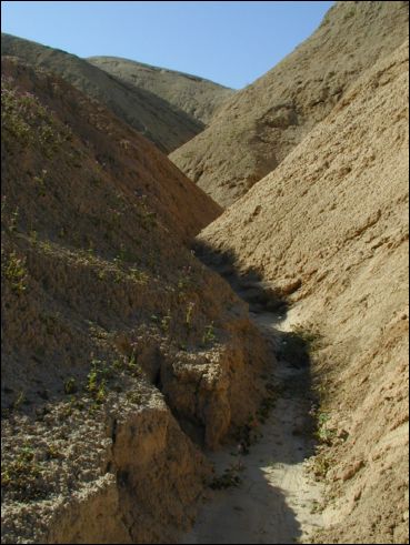 |
| Think *thinner*! |
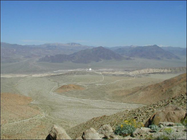 |
| Nick's route into and out of the Owlshead Mountains, looking toward the truck (white blob). Note the 3 mile backtrack along Henry Wade Road. This was just what Nick needed on top of a 14 mile day in rough country with no trails. (He missed his truck by 100 yards in the dark, and marched off in the wrong direction by headlamp...) |
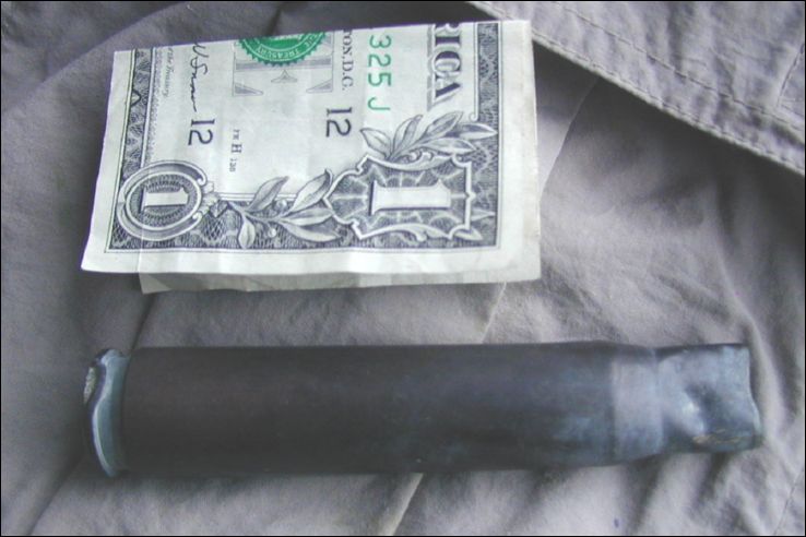 |
| This 50 caliber casing was seen in a location very steep and remote. It must have fallen from a strafing WWII warbird |
 |
| Panamint Range looking NW from Death Valley's Warm Springs Road |
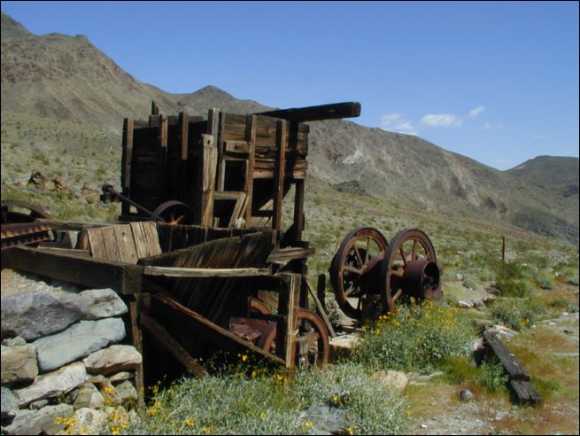 |
| Ore separator at one of several mine sites along Warm Springs Road. (The lowest of these sites was improved and occupied) |
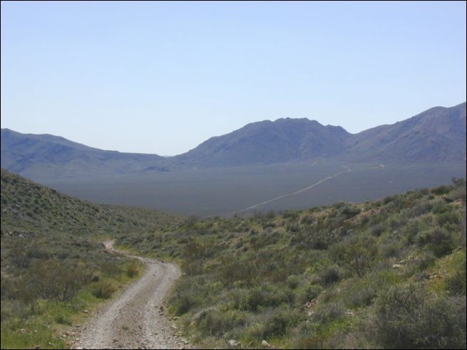 |
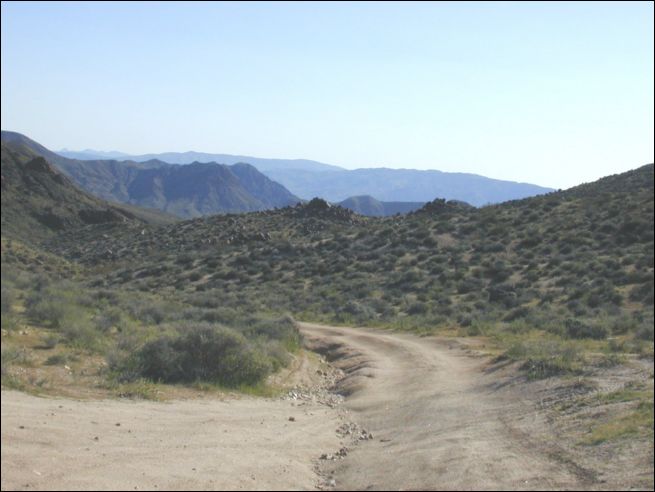
| Mengel Pass and Butte Valley viewed from the West, along Warm Springs Road |
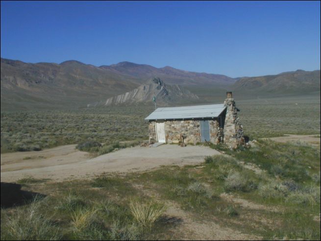 |
| Mengel Cabin and Striped Butte looking East-Northeast from just above Anvil Springs |
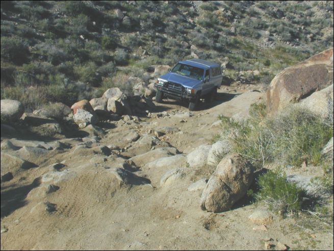 |
| Mengel Pass - let the fun begin! (Just after meeting three geologists in a 4WD that had turned back when they saw this section) |
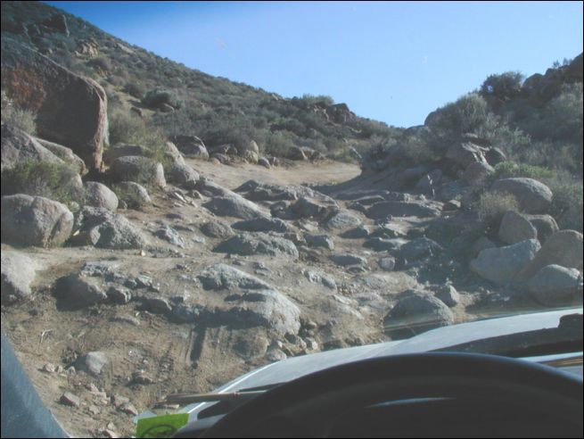 |
| Mengel Pass - mistakes could mean a two day walk out. I scouted it while humming "I Scare Myself" (Dan Hicks and the Hot Licks) |
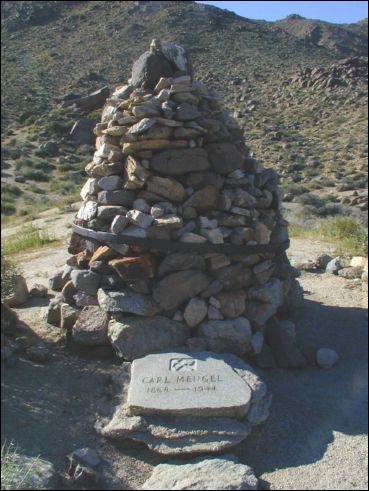 |
| Carl Mengel's memorial. I can only hope my body rests in such a beautiful place when I am done with it |
 |
| Nick J aka "Los Grand Cajones" savors success and heads east toward Panamint Valley via Goler Wash |
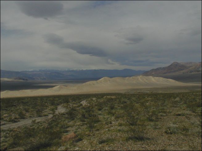 |
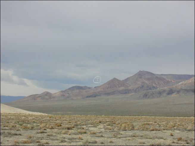
| Eureka Dunes viewed from the South (after dragging "Los Grand Cajones" through exciting Dedeckera Canyon) |
 |
| Eureka Dunes anchor Eureka Valley |
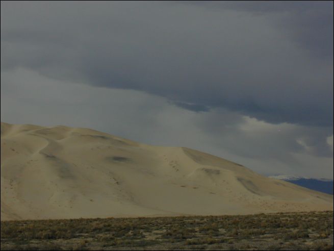 |
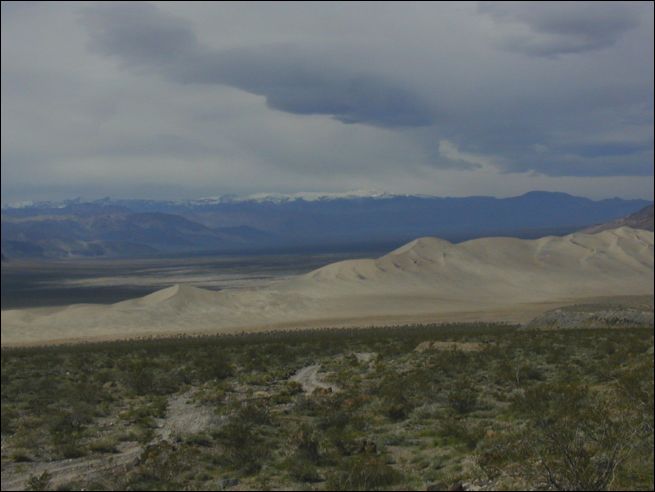
| A foundation of sand supports dunes in the sky... |
 |
| Your tax dollars hard at work protecting Eureka Dunes from terrorists (or milkvetch-hugging environmentalists?) |